Sliabh Beagh Cycle Trails


Address
Unit 7
Roslea Enterprise Centre
Liskilly
Roslea
Fermanagh
Unit 7
Roslea Enterprise Centre
Liskilly
Roslea
Fermanagh
About
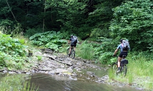
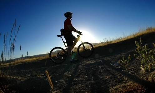
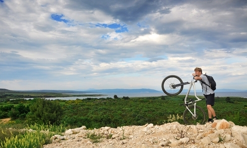
Sliabh Beagh's highest point is 380m (1,225 ft) The counties of Fermanagh, Monaghan and Tyrone meet in the three counties Hollow close to the highest point on the moorland the broad rise known as Doocarn. The Walking routes in the area consist of a 46km long distance walk, way marked from St. Patrick's Chair and well in Co/ Tyrone, going over Bragan Mountain in Co. Monaghan, carrying on behind Knockatallon and into Co. Fermanagh via Mullaghfad, Jenkin and Carnmore/Carn Rock, Tully Forest and aptly ending Donagh (Place of the Church). There are also 36 loop walks throughout the Sliabh Beagh region, all of which are way marked and vary in length from 4km to 15km. Take special care at junctions, when cycling downhill and on lose surfaces. Wearing a helmet and conspicuous clothing while riding your bicycle is a requirement of the law in the UK and Ireland.